DJI drones hauled 10 tons of supplies on Everest — and mapped its deadliest glacier
The Khumbu Icefall is the most dangerous stretch of any Everest climb — a shifting maze of crevasses and towering ice seracs where dozens of climbers have died over the decades. Sherpa guides risk their lives every season to fix ropes and slot ladders through it. This year, they had something no one has ever had before: a centimeter-accurate 3D model of the entire icefall, produced by a drone in 3.5 hours.
The drone belonged to DJI, and it was just one piece of a much larger operation. At a media briefing in Shenzhen this week, DJI detailed how it supported Chinese scientific expeditions on both the north and south sides of Everest throughout the 2026 climbing season. The company deployed three different drones — a VTOL cargo platform, a heavy-lift quadcopter, and a mapping drone — across two countries and vastly different terrain.
The high-altitude science mission
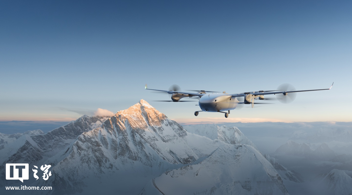
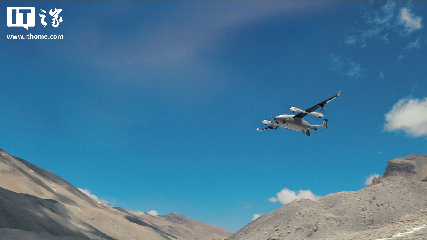
On the north side (Tibet), DJI’s EV50 took center stage. The EV50 is a hybrid VTOL aircraft that combines multirotor vertical takeoff with fixed-wing cruising efficiency, and its electric powertrain produces no exhaust — a critical advantage when sampling atmospheric pollutants at extreme altitudes.
Over the course of the expedition, the EV50 completed 32 sorties. Twelve of those flights carried atmospheric data collection instruments on spiral-ascent and reciprocating flight patterns. The highest it reached: 8,861 meters — just 8 meters shy of Everest’s summit elevation. Its maximum continuous climb was 3,730 meters in a single flight.
That data matters. Scientists have very few direct measurements of atmospheric pollutants at those altitudes, especially from the troposphere above the Tibetan Plateau. The EV50’s flights represent the first time Chinese researchers have used drones for fine-grained atmospheric pollutant observation in the extreme high-altitude troposphere.
The supply line and the trash problem
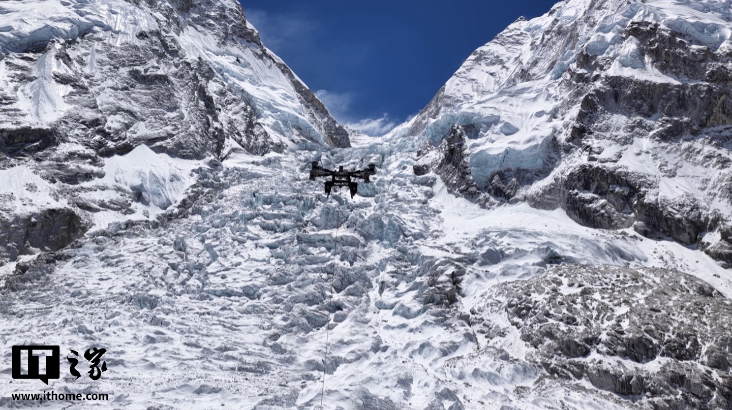
On the south side (Nepal), DJI partnered with AirLift, a Nepalese drone services company, to build a very different kind of operation. Between Everest Base Camp and Camp 1, the route passes directly through the Khumbu Icefall — a trek that can take Sherpa guides hours each way, navigating avalanche paths and hidden crevasses.
DJI’s FC100 cargo drone turned that into an 8-minute flight.
Over the 2026 climbing season, the FC100 established an aerial logistics route: supplies going up, waste coming down. In total, it moved more than 10 tons of material. That included roughly 2,300 oxygen bottles hauled up to higher camps, and nearly 3,000 kilograms of high-altitude waste — abandoned tents, oxygen canisters, climbing gear, and other debris — brought back down. What used to require dangerous, hours-long human portage through the icefall now happens in minutes with no risk to life.
The map that changes how they climb
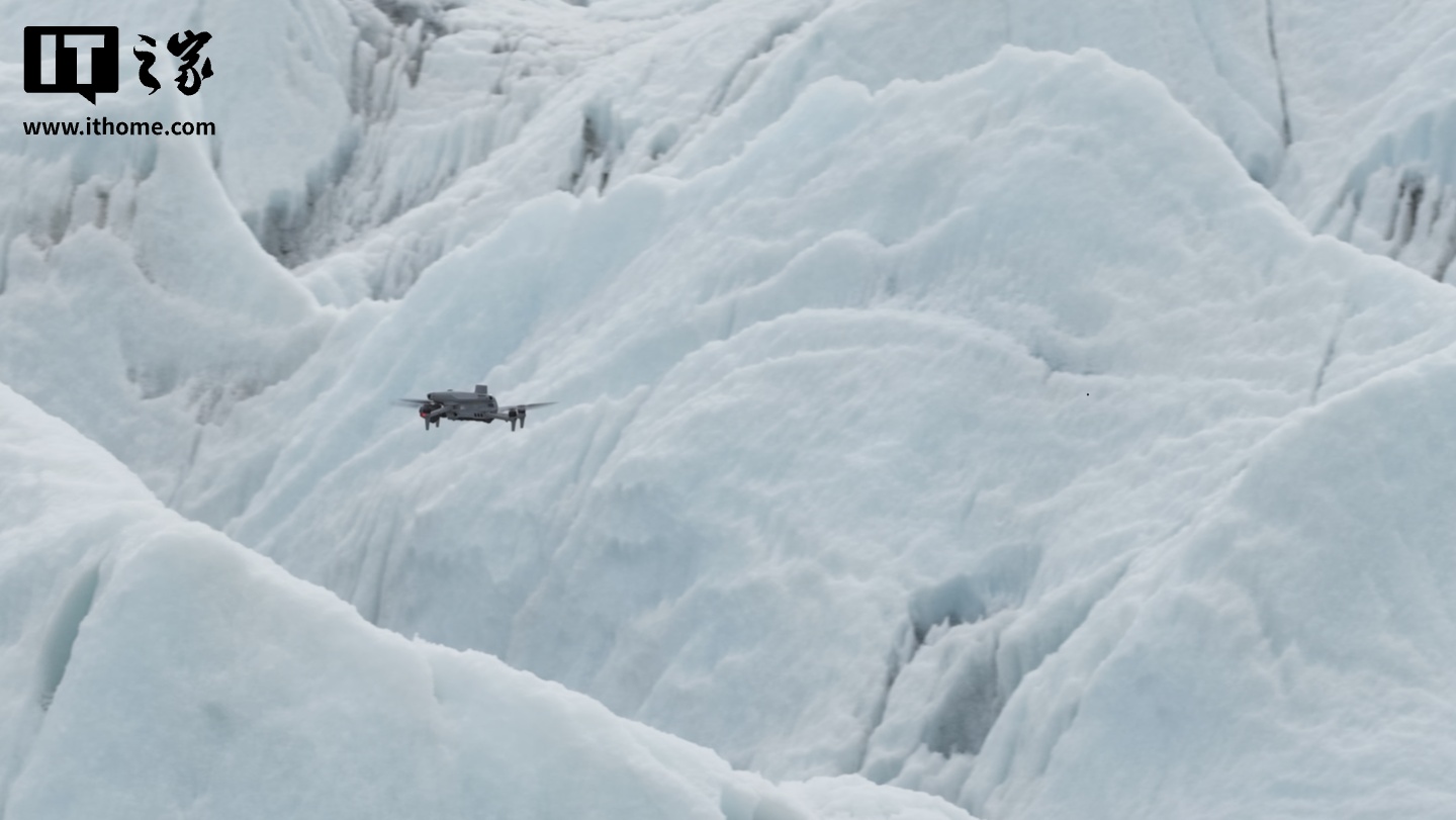
The third drone, a Matrice 4E (M4E) survey platform, tackled something no one had attempted before: a centimeter-resolution 3D model of the Khumbu Icefall core zone, spanning over 3 square kilometers. The M4E covered the entire area from Base Camp through the Khumbu Icefall to the area above Camp 1 in 3.5 hours of flight time.
The result is a detailed digital twin of one of the most dynamic and dangerous glacial features on the planet. Sherpa guides, who are responsible for fixing the route through the icefall each season, can now study the crevasse field before ever setting foot on the glacier. They can anticipate where ladders and ropes will be needed, calculate supplies in advance, and plan safer routes. It reduces the time they spend exposed to objective hazards — falling ice, collapsing snow bridges, and sudden crevasses that open without warning.